
Theory of Continental Drip
Ormonde de Kay, Jr. first proposed the "theory of continental drip" in Horizon magazine (Winter 1973), although it was more of an observation than a theory. He wrote:
De Kay's article was meant to be tongue-in-cheek, and there have been several elaborations of his theory in the same vein, such as here and here.
However, it's true. Continents and peninsulas do seem to "drip" south — Africa, South America, Baja California, Florida, Greenland, Scandinavia, Italy, Greece, India, Malaysia, Indochina, and Korea.
So why? Is there a reason? De Kay wrote:
But like I said, De Kay wasn't being completely serious. The closest I've been able to find in the way of a genuine scientific response to this mystery is in New Scientist magazine (Dec 18, 1999), when a reader wrote in asking about the dripping continents and received the following response:
In other words, there really is no reason for the dripping. It's just random chance.
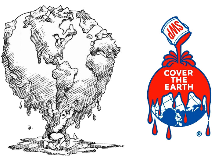
Continental drip is the tendency of land masses to drip, droop, sag, depend, or hang down — like wet paint in the Sherwin-Williams trademark — except that they cling to the Earth's surface below the equator instead of falling off into space.
De Kay's article was meant to be tongue-in-cheek, and there have been several elaborations of his theory in the same vein, such as here and here.
However, it's true. Continents and peninsulas do seem to "drip" south — Africa, South America, Baja California, Florida, Greenland, Scandinavia, Italy, Greece, India, Malaysia, Indochina, and Korea.
So why? Is there a reason? De Kay wrote:
A few possible explanations come to mind: some palaeomagnetic force, for example, unsuspected and therefore undetected, centered in massive, mountainous Antarctica and perpetually tugging at the lower hems of land masses. Or drip might somehow be the result of the Earth's rotation, or of lunar attraction.
But like I said, De Kay wasn't being completely serious. The closest I've been able to find in the way of a genuine scientific response to this mystery is in New Scientist magazine (Dec 18, 1999), when a reader wrote in asking about the dripping continents and received the following response:
The present pattern of landmasses is just one of many that has occurred as the continents, starting with super continent Pangaea, have wandered all over the globe during the past few hundred million years. In another few hundred million the continents and their positions and shapes will all look quite different again, so not too much can be read into today’s pattern.
In other words, there really is no reason for the dripping. It's just random chance.


Comments
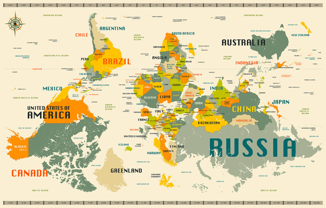
It's really very arbitrary as to which rotational pole of our planet was chosen to be "north" or "up." If the "south" pole had been chosen to point "up" we could have an observation of the continents pooling at the bottom of the planet.
Posted by KDP. on 11/16/16 at 02:03 PM
De Kay is a real drip. He's confusing our visualization of "up" & "down" from our normal perspective of standing on the earth's surface with a perspective away from earth. As KDP points out, if you're in space, the North Pole isn't always at the "top." De Kay needs one of these for his wall:
http://images.photowall.com/products/49430/world-map-explore-upside-down.jpg?w=620
http://images.photowall.com/products/49430/world-map-explore-upside-down.jpg?w=620
Posted by Virtual on 11/16/16 at 02:55 PM
From somewhere, I have it in the back of my head that the shapes were dictated by cracks radiating from areas of high volcanic activity when there was a supercontinent.
Posted by Phideaux on 11/16/16 at 06:49 PM
Pareidolia.
Posted by tadchem on 11/17/16 at 08:28 PM
The globe on the left has north facing up, the way most of us expect it. In the globe on the right (Sherwin Williams ad), the top of the globe (hidden) is NOT the north pole, but somewhere in North America, maybe British Columbia; with Europe, northern Africa, and a bit of western Asia visible at the bottom.
Posted by Joshua Z. Levin on 11/18/16 at 02:44 PM
I love this. Skimmed through the linked google ebook and was delighted. Then I saw how much it costs! $70 to buy a 300-page paperback; $33 just to "rent" it to read once! Are they insane?
I'd buy a hard-cover copy for, oh, say $19.95 easily. I'd buy the ebook for $6.99, $7.99.
I'd buy a hard-cover copy for, oh, say $19.95 easily. I'd buy the ebook for $6.99, $7.99.
Posted by Moses Lambert on 11/20/16 at 09:18 AM
Commenting is not available in this channel entry.
Category: Geography and Maps | Science